Reshaping the Atchafalaya Basin After the 1927 Flood
Snapshots of a Working Coast, No. 2
The Great Mississippi Flood of 1927 changed flood control and water management in Louisiana. In the years that followed, the Atchafalaya Basin became central to those efforts, setting off decades of engineering, dredging, and levee construction that reshaped the Basin from the inside out.
The snapshots in this post help tell that story. I’m leading with a rare aerial photograph of Grand Lake (aka Six-Mile Lake) from 1940 (State Land Office). At the time, it was a large open body of water deep inside the Basin. The image shows sediment already filling in the lake as re-engineered river systems upstream sent increasing amounts of silt down the Atchafalaya. Today, the open water is gone, replaced by a dense woody forest, and a man-made delta at the mouth of the river.
The remaining images come from a rare U.S. Army Corps of Engineers collection from the 1950s and 1960s. They document large dredging operations carried out to deepen channels and help create the Atchafalaya Floodway. Together, these photos show the physical work of man’s machines behind modern flood control that forever changed America’s largest cypress swamp and Louisiana’s coastal map.
With the 100th anniversary of the 1927 flood approaching, these images offer a visual record of how and why the Basin was reshaped.
Images
-
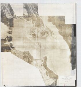
- SLO SW Map 2595_1940 Photo Accretion Upper Grand Lake reduced

-
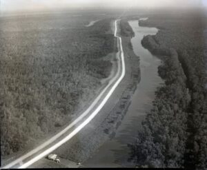
- West Guide Levee A 1958

-
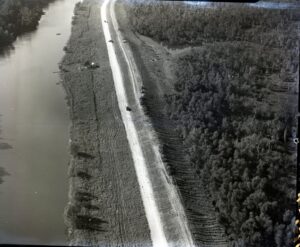
- West Guide Levee B 1958

-
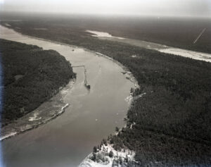
- Atch Dredging Upper Grand A 1965

-
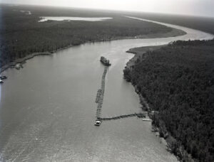
- Atch Dredging Upper Grand River C 1965

-
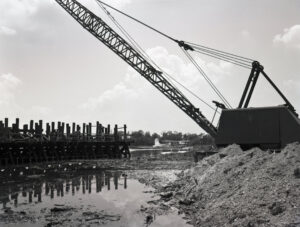
- Atch bucket dredging west access channel 1967

-
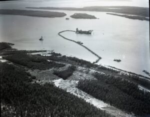
- Atch Dredge at 6-mile lake A 1967

-
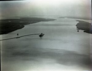
- Atch dredge at 6-Mile Lake B 1967

-
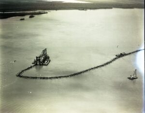
- Atch dredge at 6-Mile Lake C 1967

-
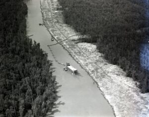
- Atch Dredging West Access Channel 1967

-
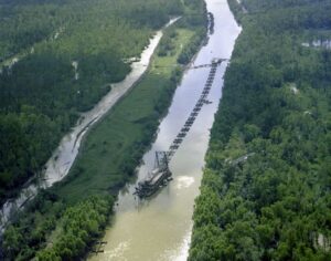
- Atch West Access Channel color 1975

-
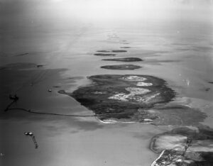
- Atch Bay Island Creation A 1975

-
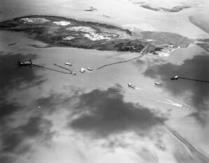
- Atch Bay Island Creation B 1975

Learn more
- Mapping the Basin, Jason Theriot’s project on the history of the Atchafalaya Basin
- “Mapping the Basin” ArcGIS Story Map
- Short film on the Atchafalaya Basin (YouTube)
Need historical research on Louisiana’s coast?
Dr. Jason P. Theriot is a Houston historian who has spent 20 years researching Louisiana’s Working Coast: its oil and gas industry, pipelines, navigation channels, and coastal restoration. He provides archival research, historical chronologies, photo research, and written histories for law firms, companies, agencies, and organizations.
Litigation support · Research and writing services · Contact Jason or call (713) 417-3380