Snapshots of a Working Coast

Snapshots of a Working Coast is a series of short essays by historian Jason Theriot on the people, places, industries, and engineering projects that transformed Louisiana's coastal landscape. Drawing on rare historic photographs, maps, archival records, and decades of research, each installment views the Working Coast through a historical lens, revealing how generations built, worked, managed, restored, and adapted to one of America's most dynamic coastal environments.

Read the Series

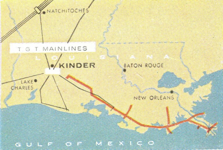
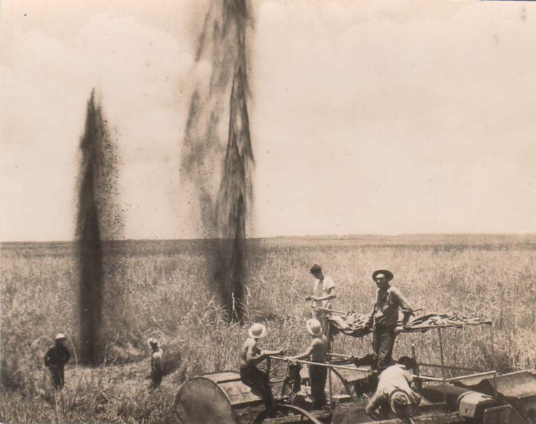
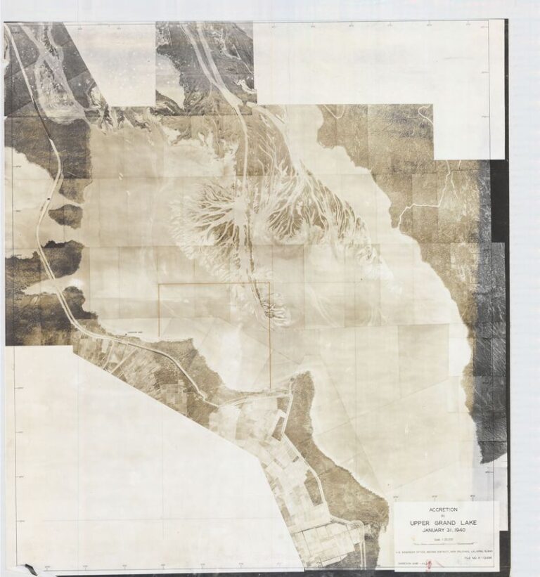
Aerial view of the Calcasieu River near Lake Charles, May 1949No. 10The Calcasieu Ship Channel and Its LegacyHow dredging built Lake Charles into a major port and set off decades of saltwater control.Read and see the photos →Archival image of the Mississippi River-Gulf Outlet (MRGO) dredging and construction, U.S. Army Corps of Engineers, New Orleans DistrictNo. 9Dredging the "Infamous" MRGOThe rise, erosion and closure of the Mississippi River-Gulf Outlet.Read and see the photos →The completed Freshwater Bayou lock and channel, September 1968No. 8Freshwater Bayou ChannelDredging a waterway through a working marsh, and the warnings that were ignored.Read and see the photos →CATCO platform, the first offshore gas gathering platform, under construction in 1958No. 7Building the Offshore Pipeline NetworkHow lay barges built the Gulf's underwater gas pipeline system.Read and see the photos →Map of the Tennessee Gas Muskrat Line across south Louisiana, 1956 annual reportNo. 6The Men Who Built the Muskrat LineTennessee Gas's 355-mile pipeline across Louisiana's marshes, 1955.Read and see the photos →Seismic exploration crew shooting charges in a south Louisiana marshNo. 5From Marsh to Open WaterThe early years of coastal oil and gas, from marsh crews to the first platforms.Read and see the photos →Caernarvon Freshwater Diversion structure, February 1996No. 4Caernarvon: Reconnecting the River to the WetlandsFrom the 1927 levee dynamiting to Louisiana's first major river diversion.Read and see the photos →Aerial view of oil drilling and a dredged access line in Grand Lake, Atchafalaya Basin, June 1950No. 3Early Oil and Gas in the Atchafalaya BasinDrilling and pipelines deep inside the Basin in the 1950s and '60s.Read and see the photos →1940 State Land Office aerial photograph showing sediment filling Upper Grand Lake in the Atchafalaya BasinNo. 2Reshaping the Atchafalaya BasinHow the 1927 flood led to decades of dredging and levee building in the Basin.Read and see the photos →

Need historical research on Louisiana's coast?

Jason has spent 20 years researching Louisiana's oil and gas industry, pipelines, navigation channels, and coastal restoration. He provides archival research, historical chronologies, photo research, and written histories for law firms, companies, agencies, and organizations.

Litigation support · Research and writing services · Contact Jason or call (713) 417-3380

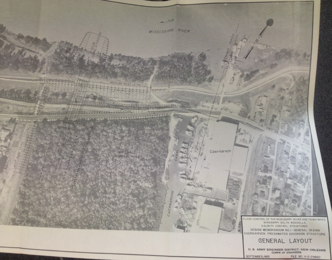
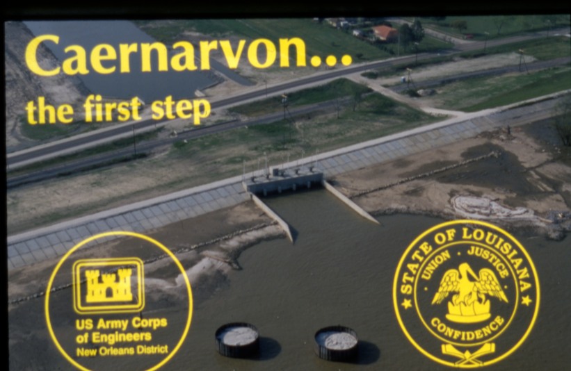
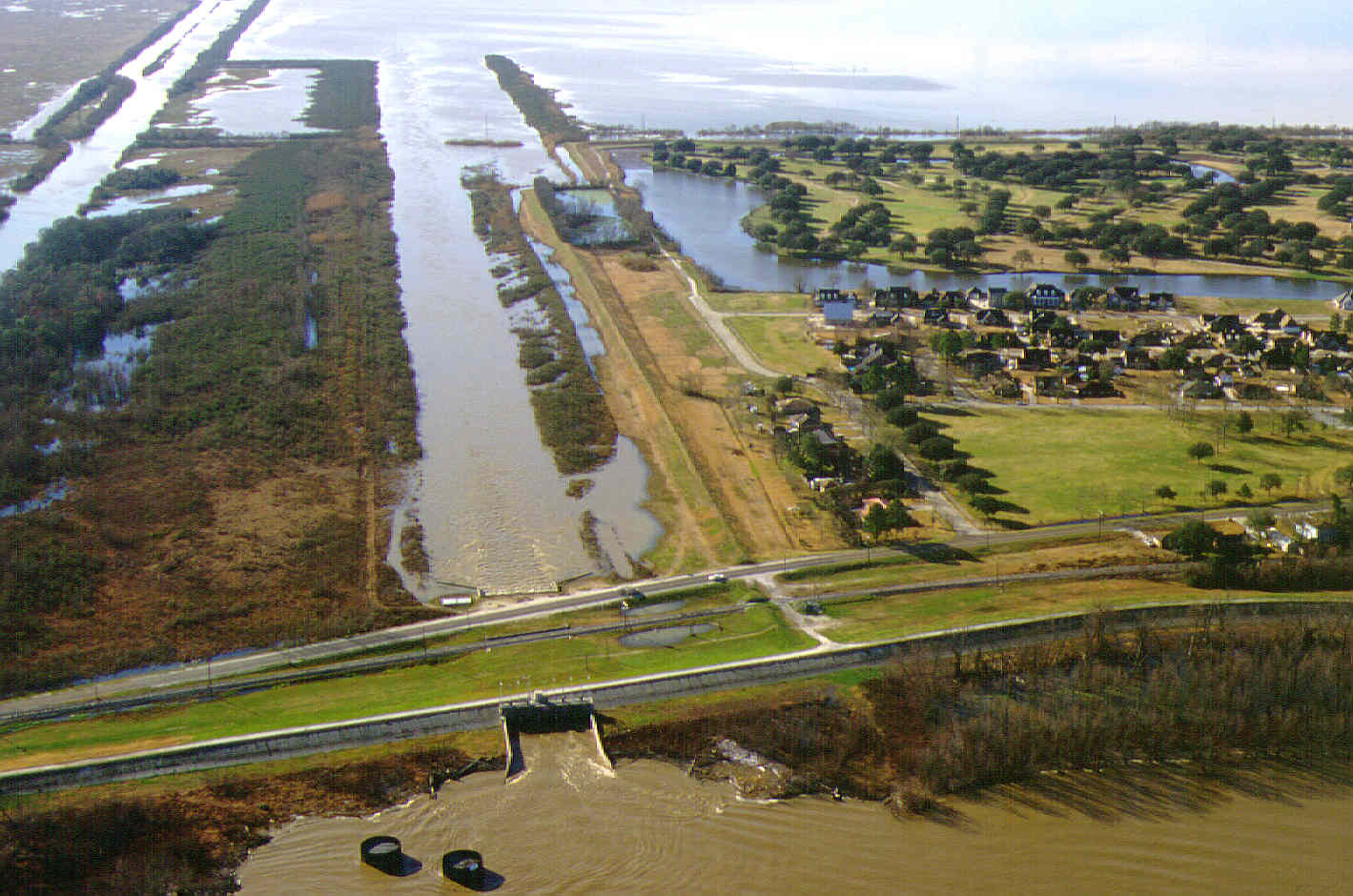
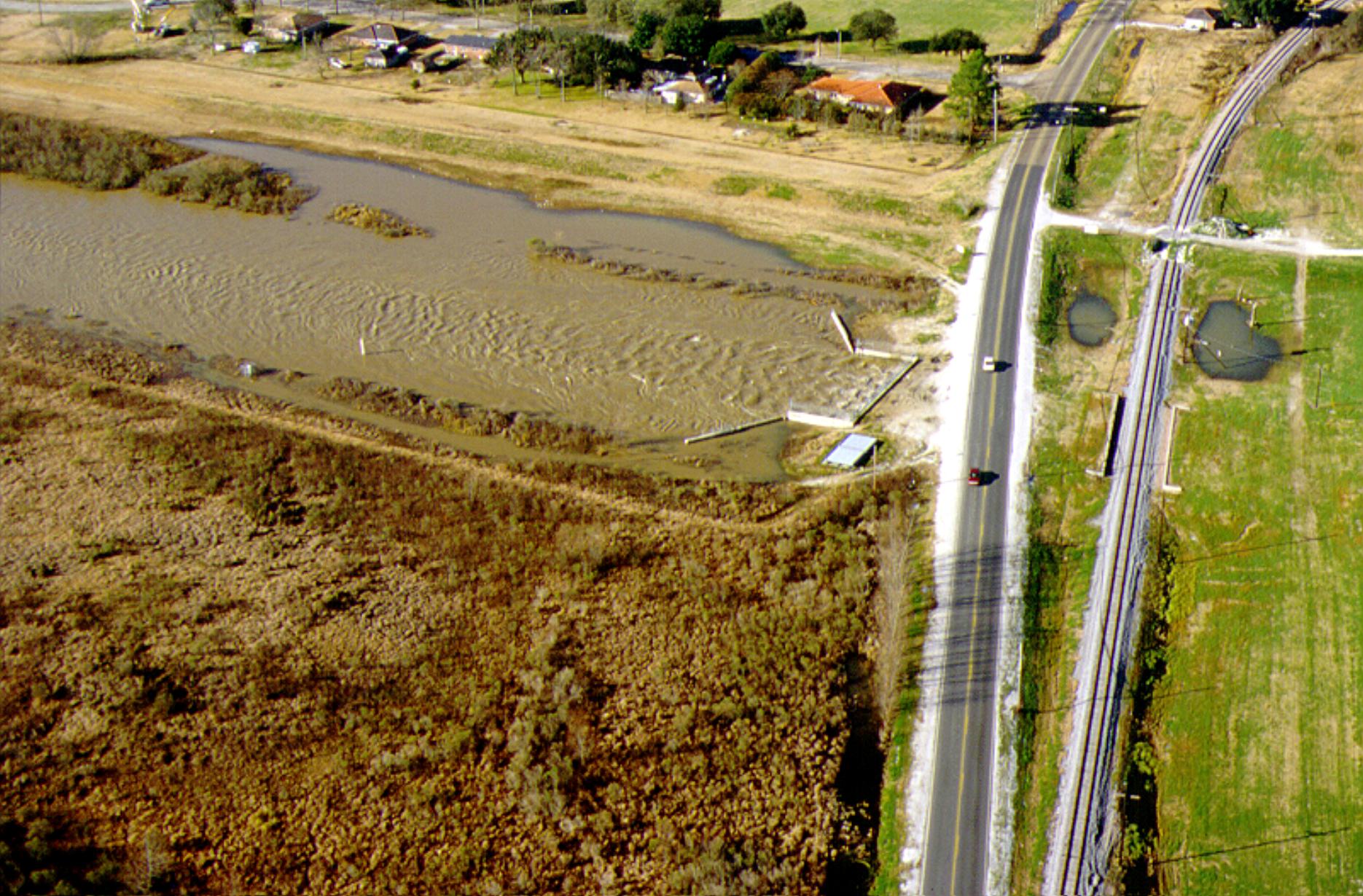
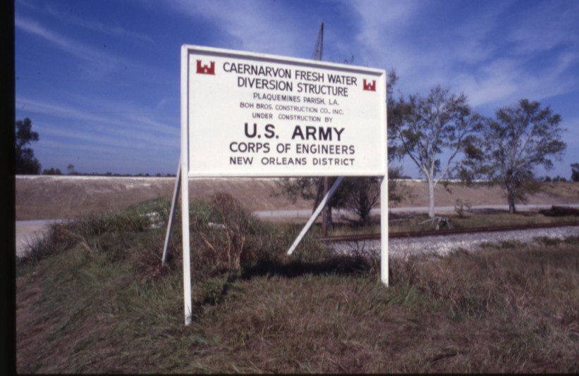
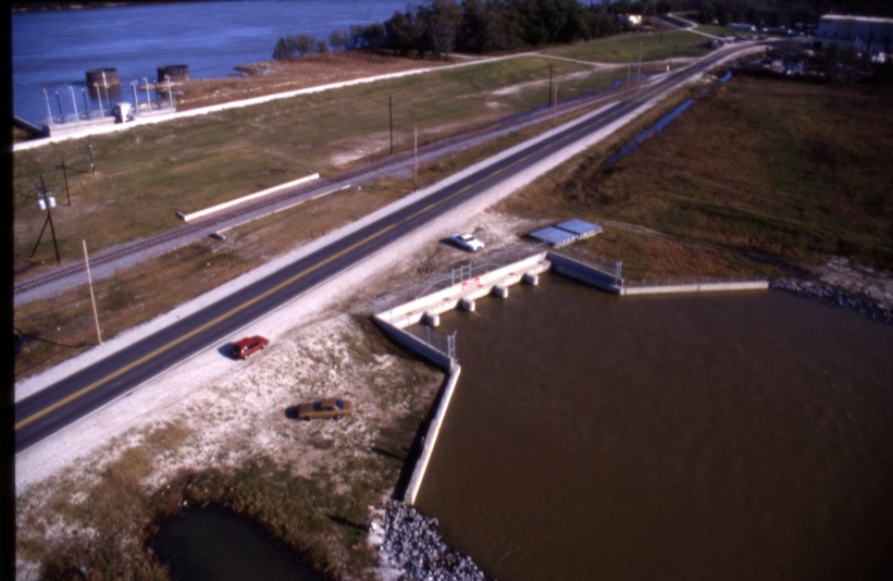
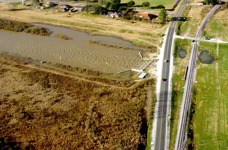
Caernarvon Freshwater Diversion

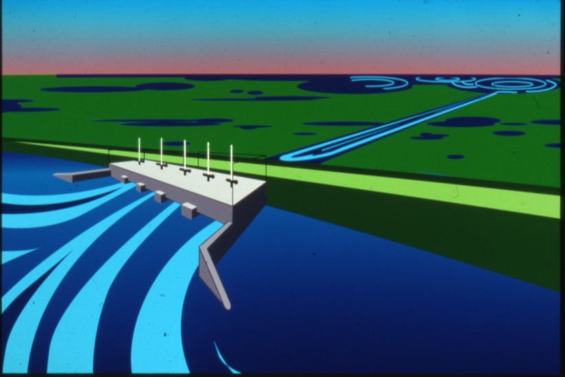
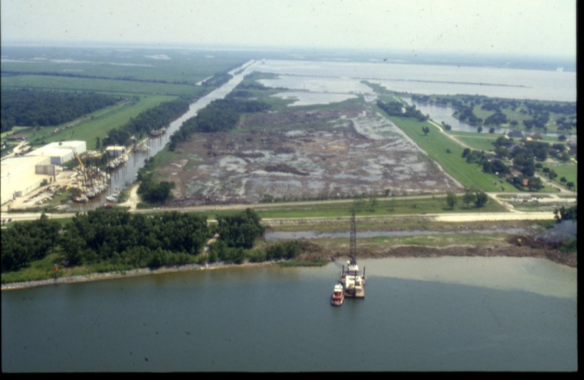
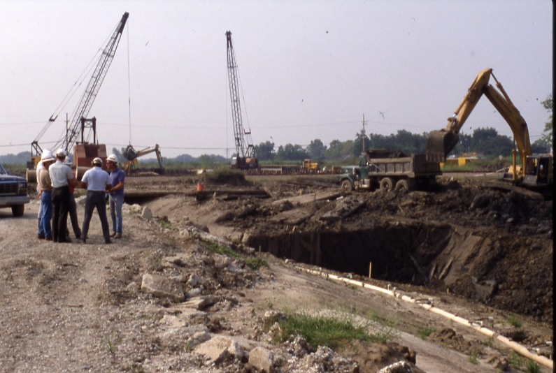
It was here, during the Great Mississippi River Flood of 1927, that engineers dynamited the Mississippi River levee in an effort to relieve pressure on the flood system and save New Orleans, sending floodwaters across St. Bernard Parish and into the Breton Sound marshes. Decades later, the same location became the site of Louisiana’s first major experiment in reconnecting the Mississippi River to its wetlands. Completed in 1991, the Caernarvon Freshwater Diversion was designed to push back saltwater intrusion and replenish marshes that had been cut off from the river’s freshwater and sediment. The project quickly became both a milestone in coastal restoration policy and a source of controversy, as oyster fishermen argued the diversion disrupted productive oyster grounds, leading to the well-known Avenal litigation.


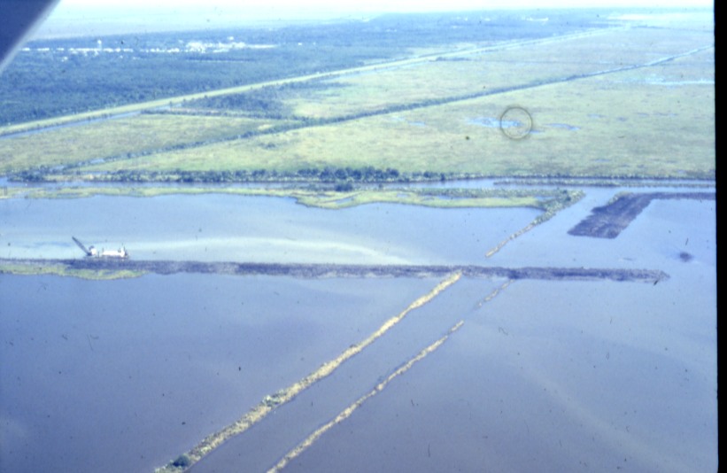
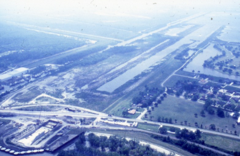
Ongoing historical research is examining the development of the diversion and its role in shaping Louisiana’s modern coastal restoration strategy. The rare images presented here—drawn largely from U.S. Army Corps of Engineers archives—document the planning, construction, and early operation of the project.

Read the full essay →

Images of Caernarvon

The Mississippi River-Gulf Outlet (MRGO)

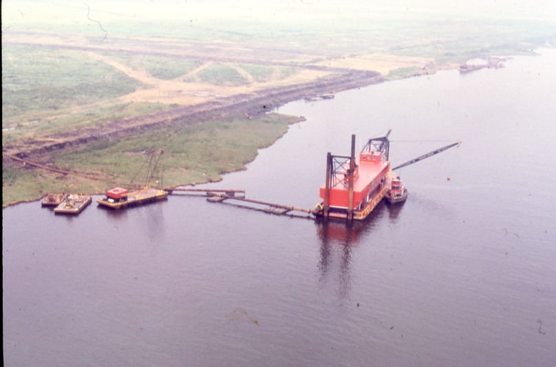
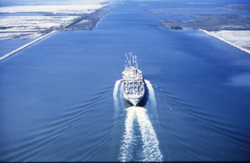
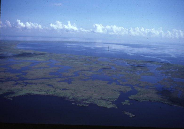
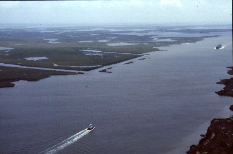
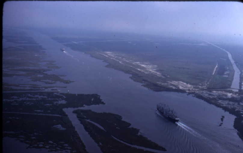
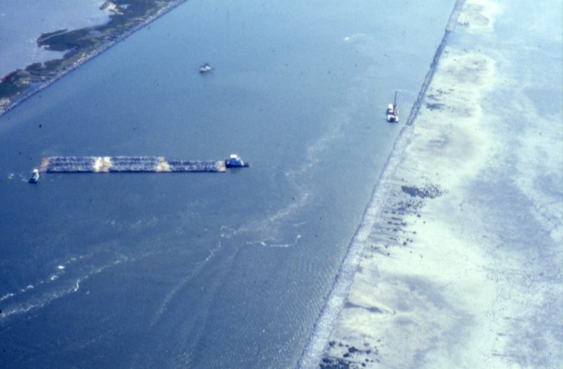
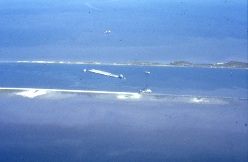
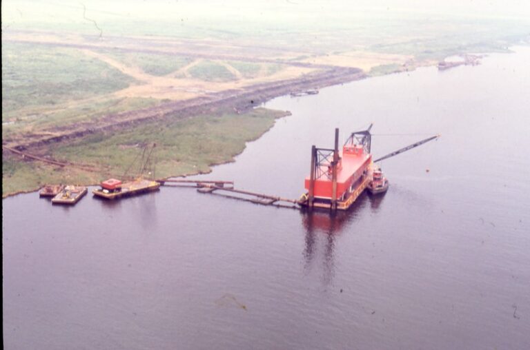
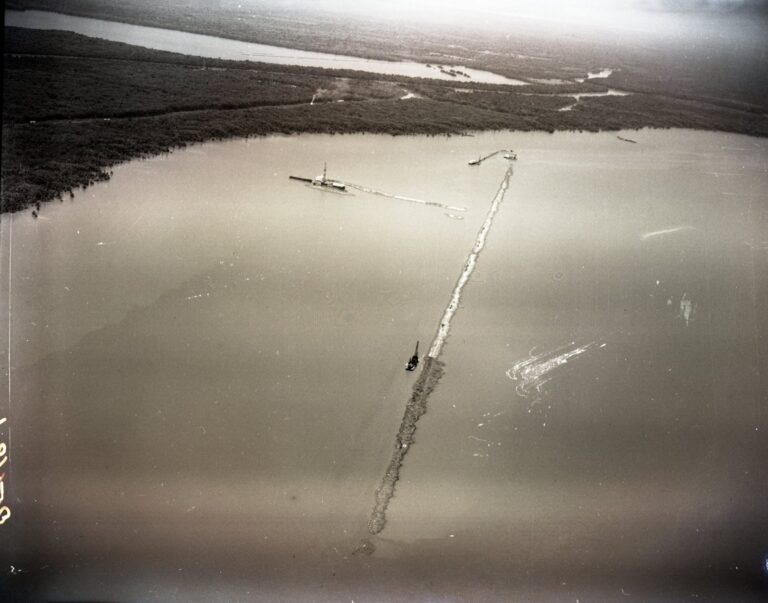
The infamous MRGO was a 76-mile deep-draft navigation channel built by the U.S. Army Corps of Engineers to provide New Orleans shipping with a shorter route to the Gulf of Mexico. Authorized in 1956 and opened to commercial traffic in 1963, the channel cut through the delta marshlands southeast of the city. Over subsequent decades, erosion, saltwater intrusion, and widening of the channel contributed to major changes in the surrounding coastal landscape. MRGO was deauthorized in 2008 and physically closed near Bayou La Loutre in 2009.

Read the full essay →

Images of MRGO

Calcasieu Ship Channel

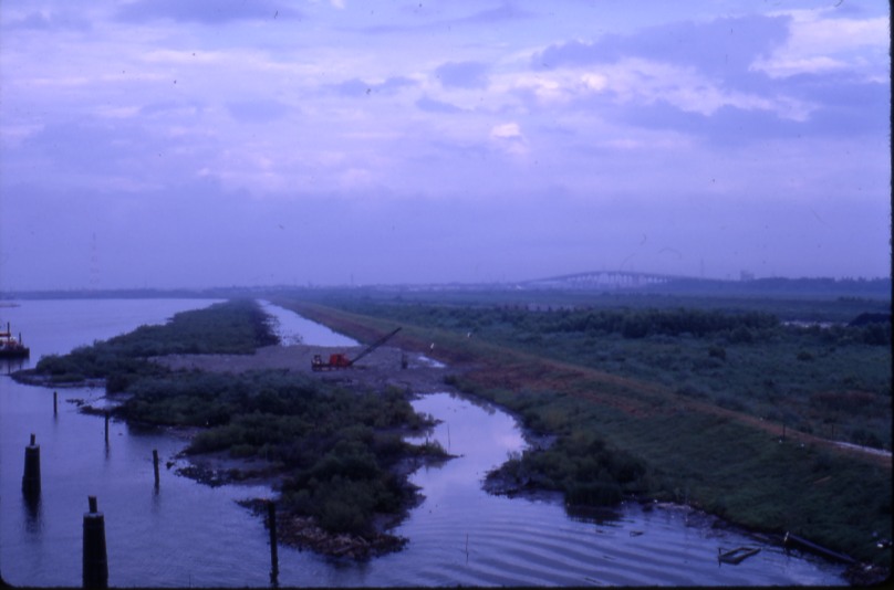
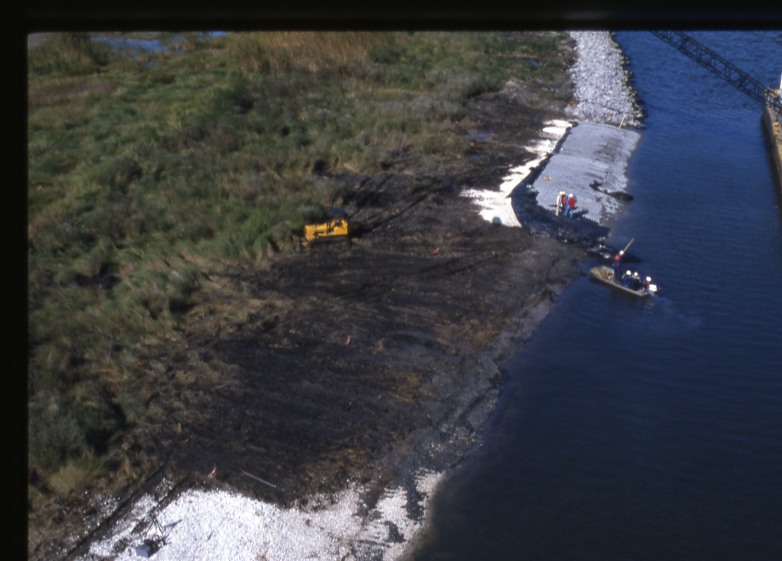
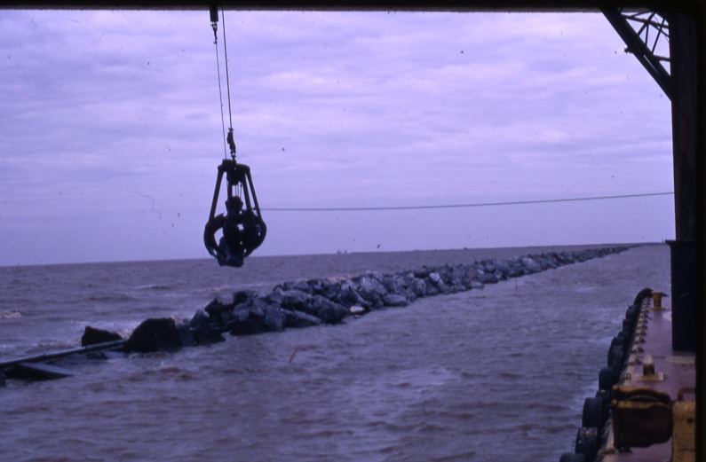
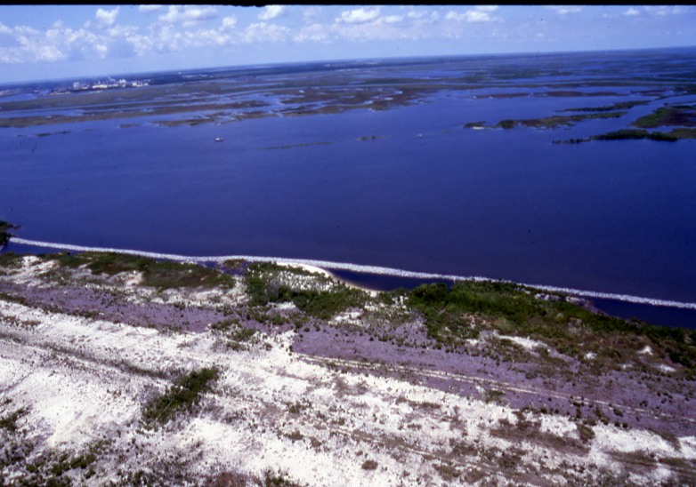
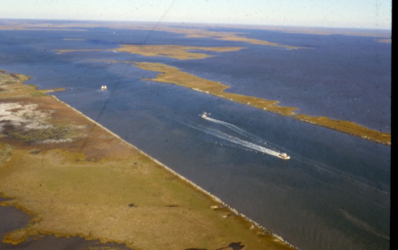
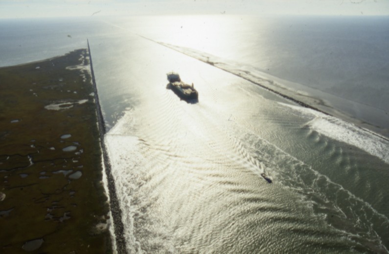
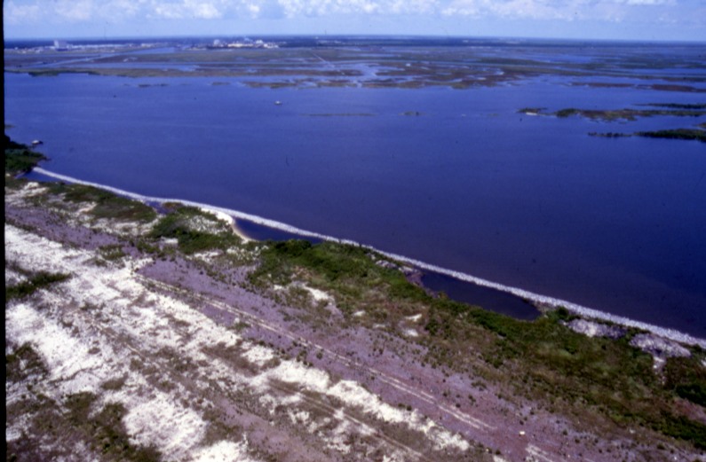
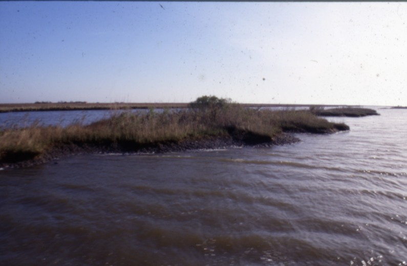
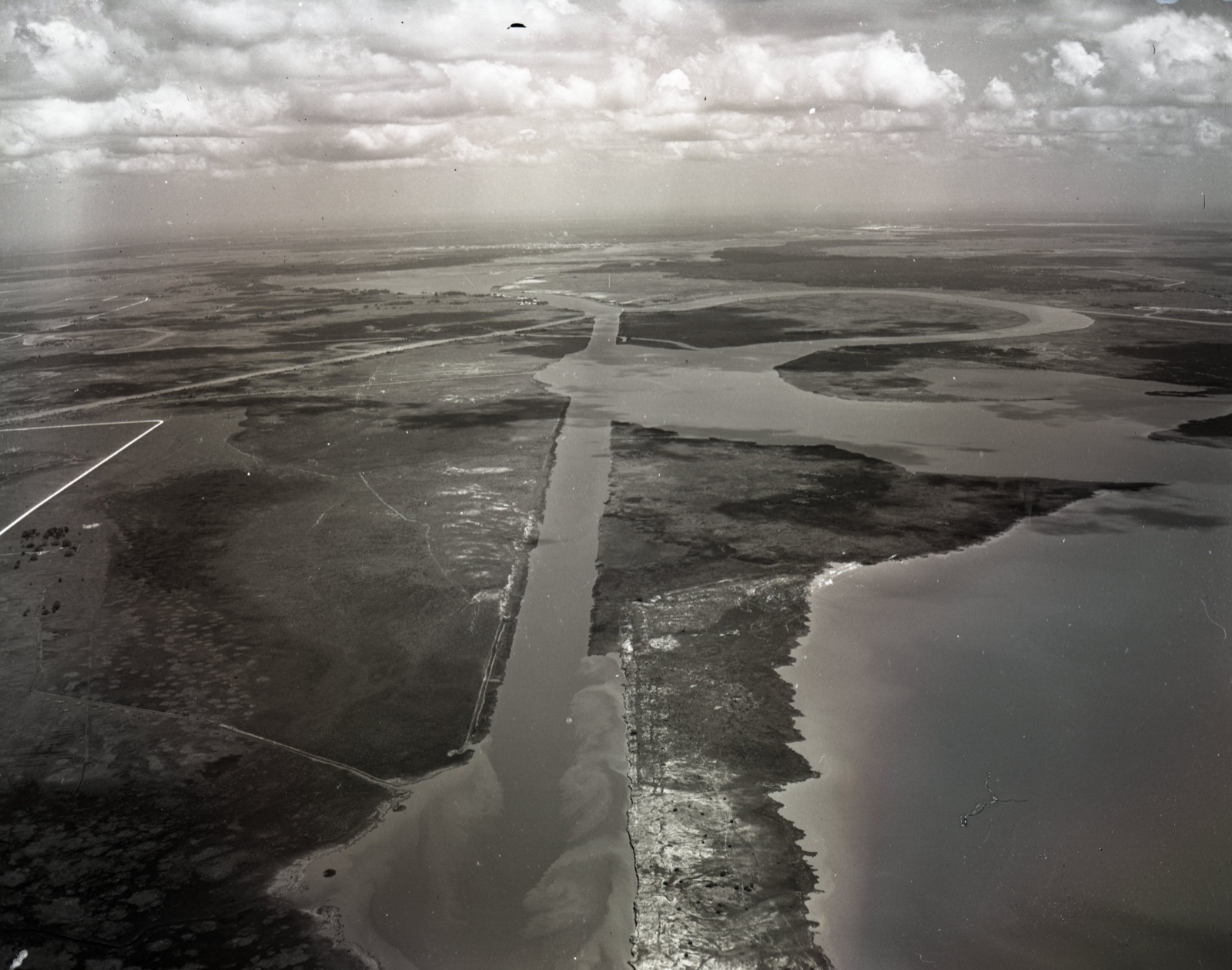
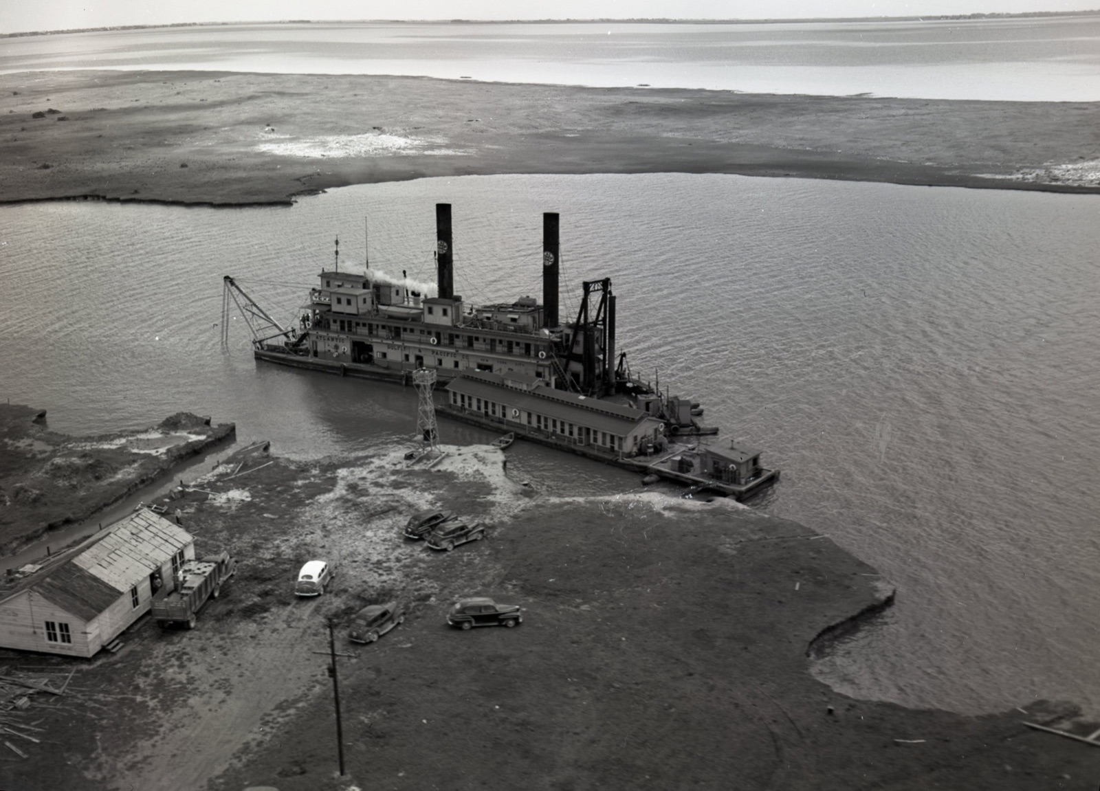
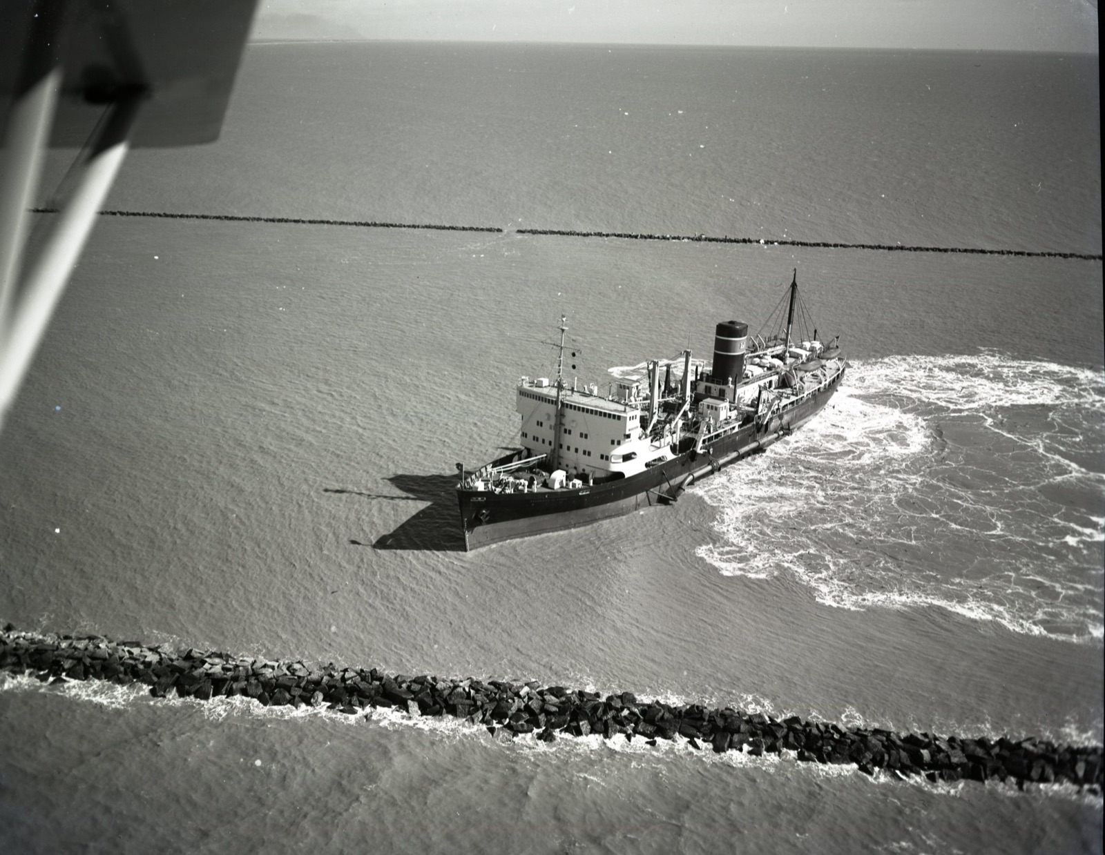
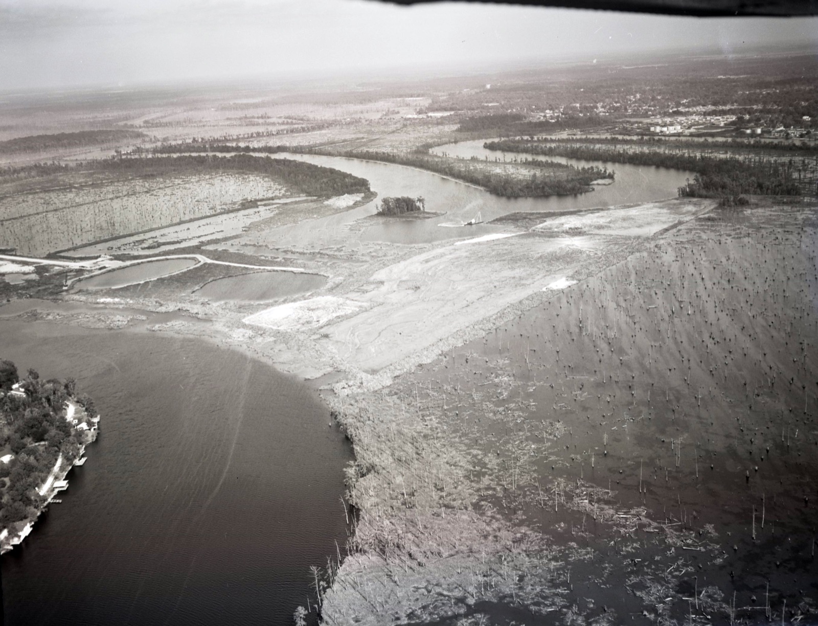
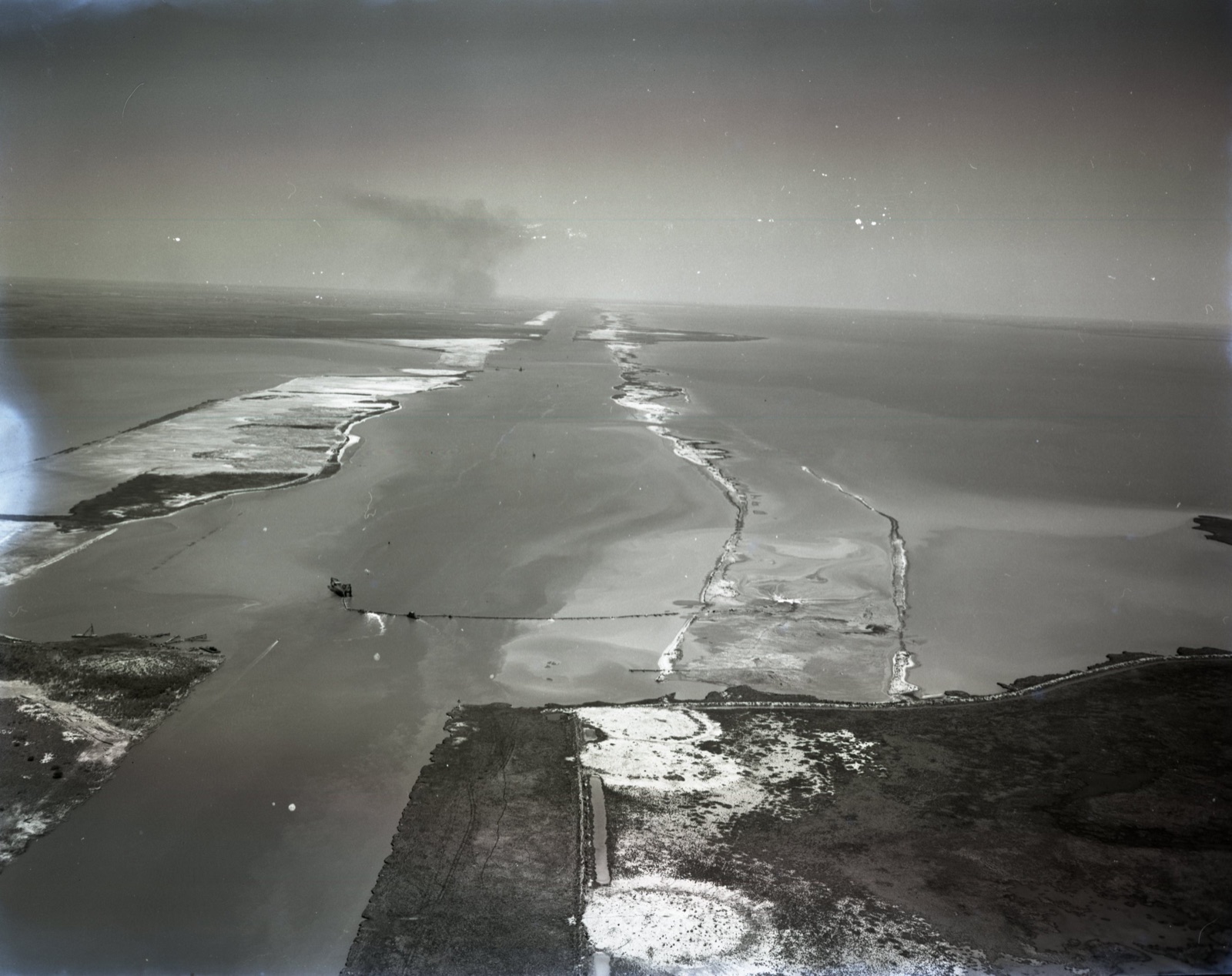
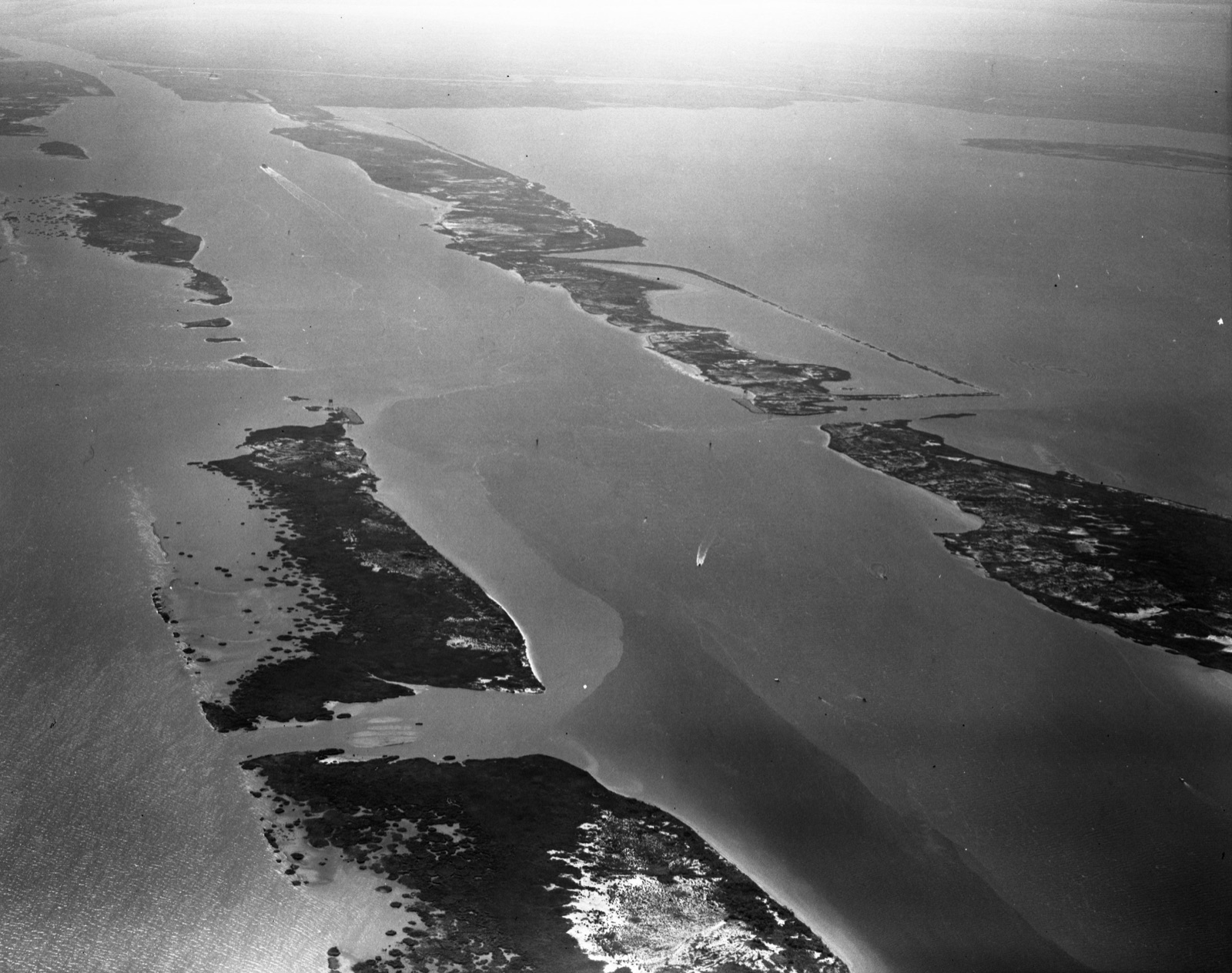
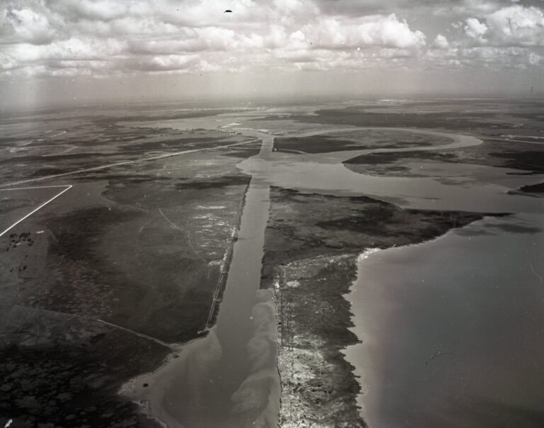
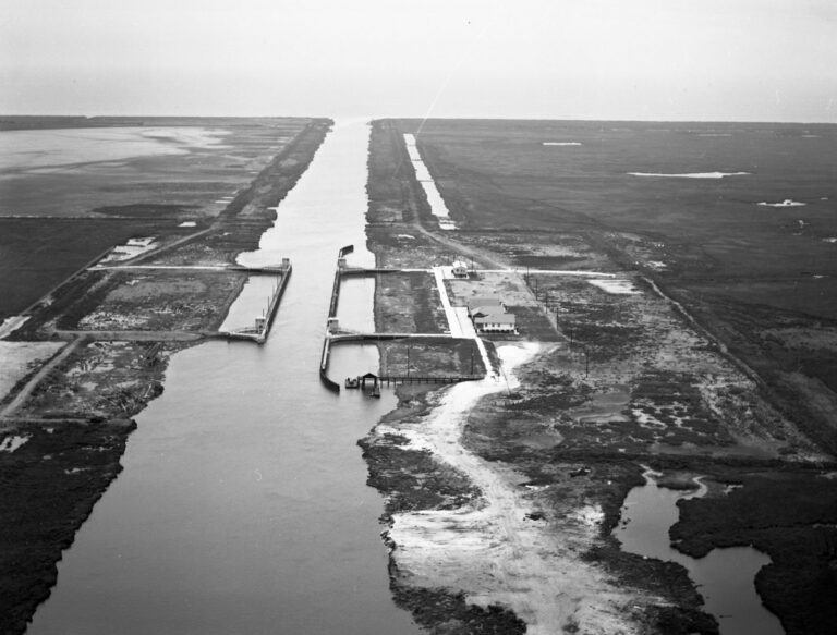
Rare historic aerial photographs from the U.S. Army Corps of Engineers document the dredging and expansion of the Calcasieu Ship Channel and the construction of water-control structures built to manage the saltwater intrusion that followed. These remarkable images capture decades of coastal engineering that transformed southwest Louisiana's maritime economy, freshwater marshes, and Working Coast.

Read the full essay →

Images of Calcasieu Ship Channel