Dredging the “Infamous” MRGO Through the Delta Marshland
Snapshots of a Working Coast, No. 9
For decades, New Orleans leaders and politicians dreamed of a shorter route between the city and the Gulf. Congress authorized the Mississippi River-Gulf Outlet (MRGO) in 1956, a deep-draft navigation channel cutting southeast from the Industrial Canal through the delta marshlands to Breton Sound and the Gulf. Supporters argued that the new route would shorten the voyage to New Orleans, reduce navigation hazards on the river, and generate new business for port and industrial development.
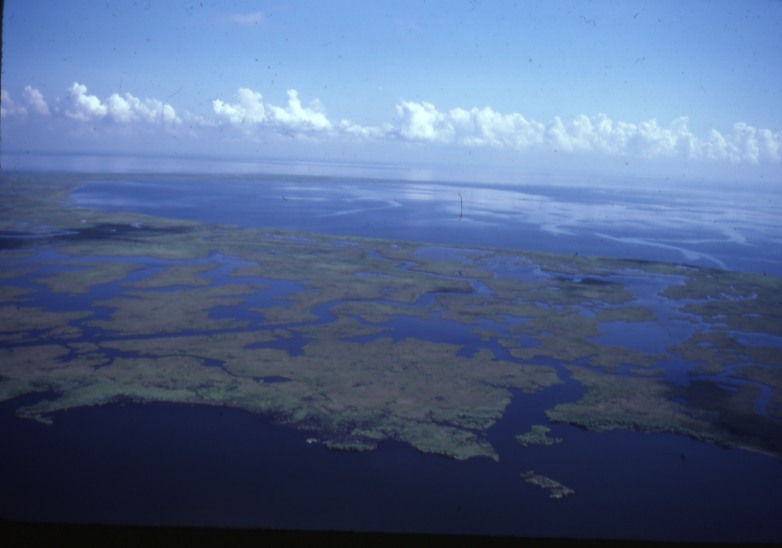
Initially known as the Tidewater Canal, the MRGO was not without its critics. The project emerged at the height of the golden age of engineering, but a small contingent of state wildlife officials and locals questioned the channel’s potential environmental impacts. In the 1950s, these wetland experts acknowledged the economic benefits but opposed the selected route, warning that increased salinity, altered tidal movement, and dredged spoil could damage valuable fisheries, oyster grounds, waterfowl habitat, and trapping areas. Like other major dredging projects before the environmental era, MRGO proceeded without haste.
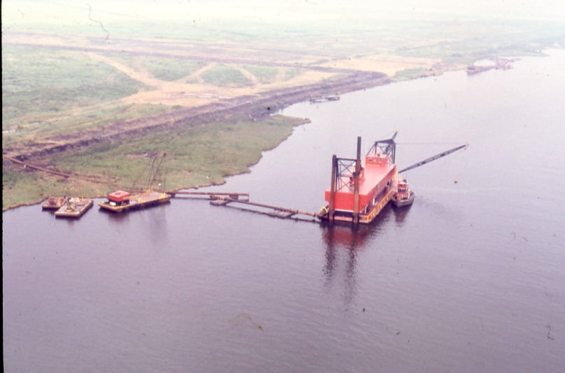
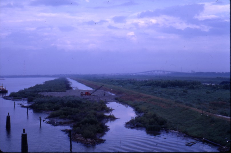
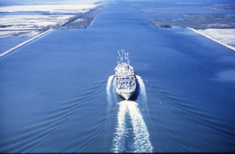
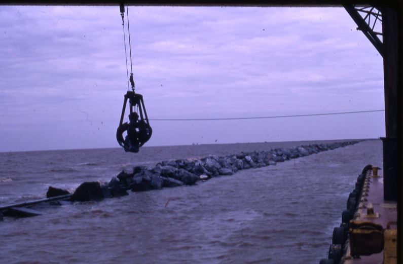
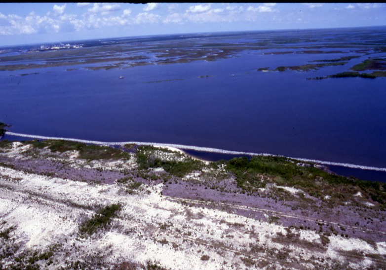
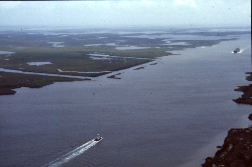
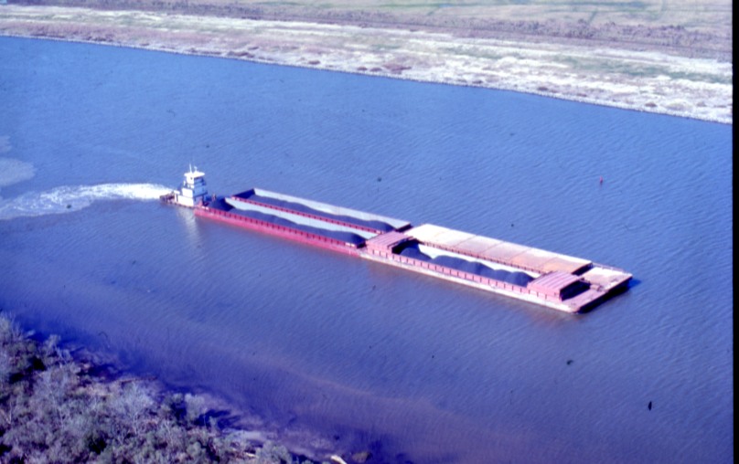
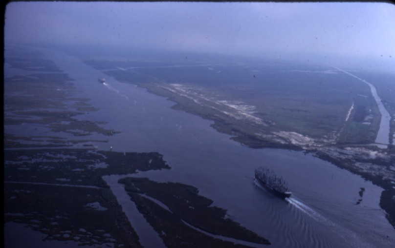
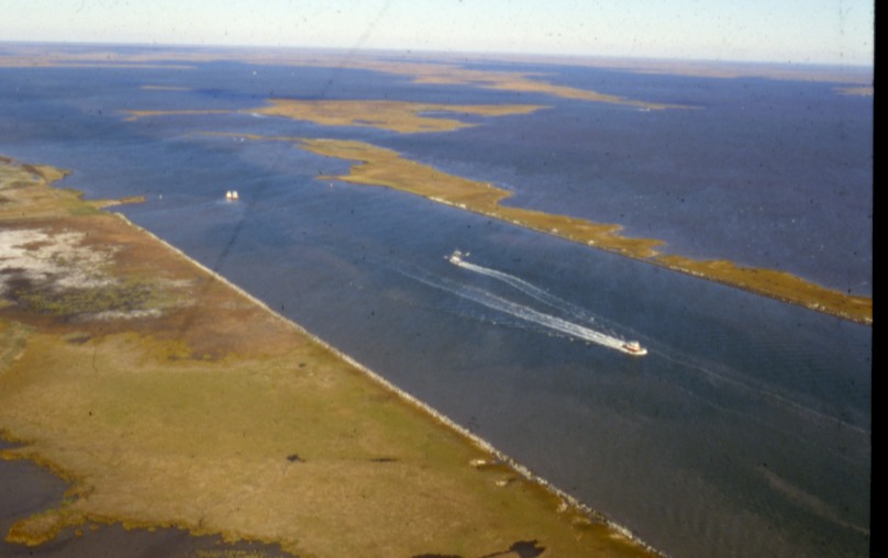
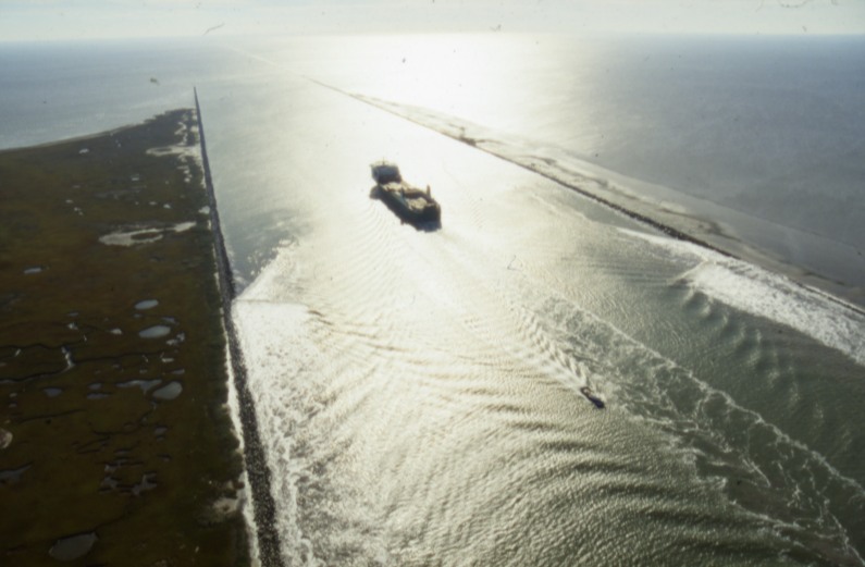
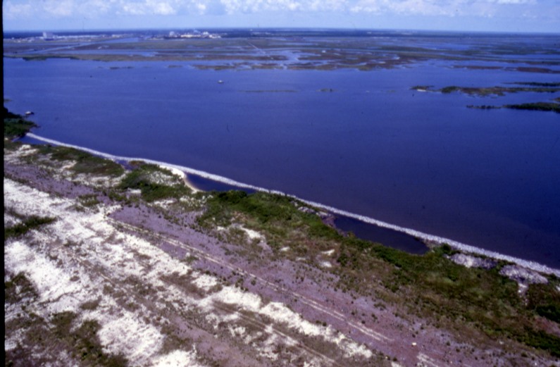
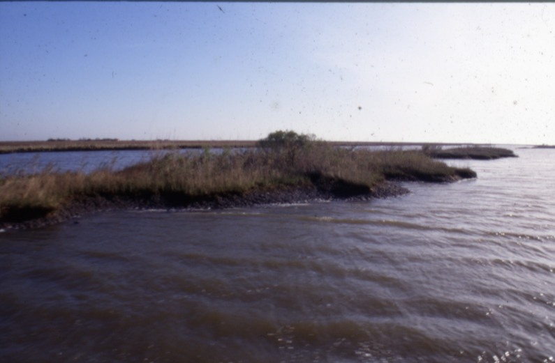
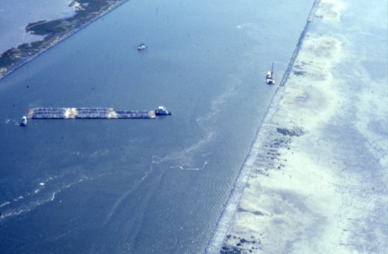
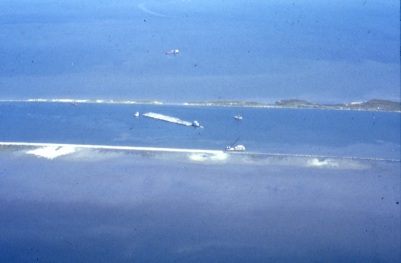
Dredging began in the late 1950s, and in July 1963 the first commercial ships began running the new channel. Work continued for several years as dredges enlarged MRGO to its authorized dimensions. These rare Army Corps photos capture that transformation, from a line drawn across the delta to dredges cutting through highly productive marshland and to ships navigating a new waterway to the Gulf.
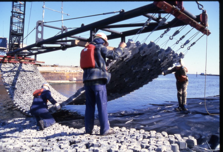
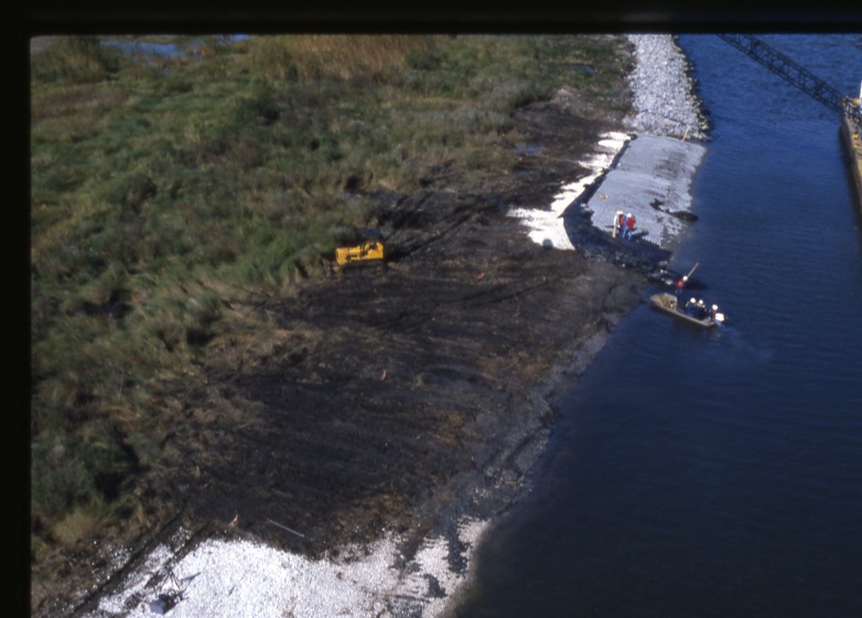
But within just a few years, the banks along MRGO rapidly deteriorated, and the wetlands on both sides showed signs of significant erosion. Ship wakes, tidal movement, and saltwater intrusion took a toll on the surrounding marshes. By the early 1970s, LSU coastal scientist Woody Gagliano warned that MRGO was creating a serious erosion problem. The Corps responded with giant concrete mats and miles of rock to combat bank erosion. A decade later, the channel had doubled in size and the erosion of the surrounding wetlands continued unabated. Congress eventually deauthorized and closed MRGO following Hurricane Katrina in 2005, when the man-made channel became part of the broader debate over the levee failures and catastrophic flooding in the city.
These historic images from the U.S. Army Corps of Engineers New Orleans District archives document one of the most ambitious, and notorious, efforts to engineer Louisiana’s Working Coast.
Images
Learn more
- Previous in the series: Freshwater Bayou Channel
- Next in the series: The Calcasieu Ship Channel and Its Legacy
Need historical research on Louisiana’s coast?
Dr. Jason P. Theriot is a Houston historian who has spent 20 years researching Louisiana’s Working Coast: its oil and gas industry, pipelines, navigation channels, and coastal restoration. He provides archival research, historical chronologies, photo research, and written histories for law firms, companies, agencies, and organizations.
Litigation support · Research and writing services · Contact Jason or call (713) 417-3380