The Calcasieu Ship Channel and Its Legacy
Snapshots of a Working Coast, No. 10
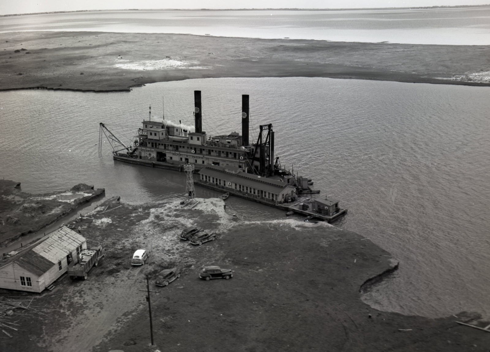
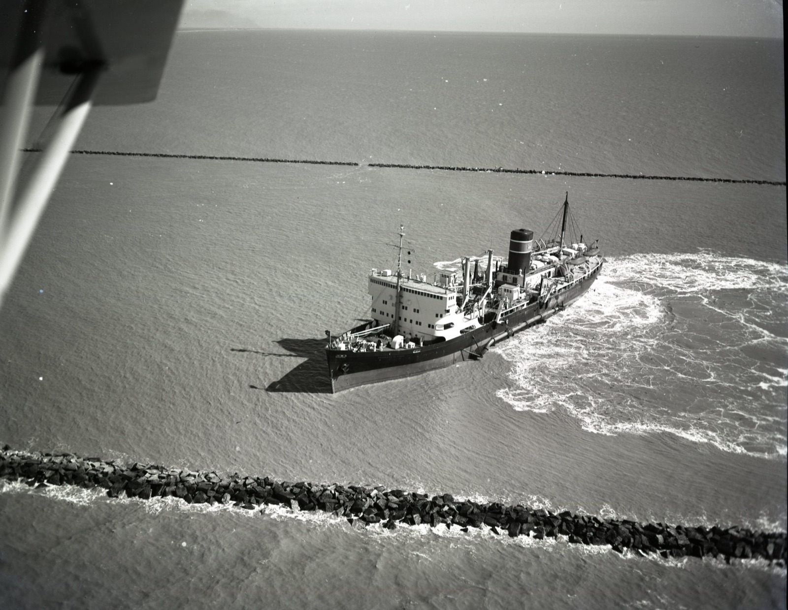
In the 1930s, Lake Charles business leaders, industrialists, and politicians pushed for a deepwater navigation channel connecting the growing port city to the Gulf of Mexico. The Army Corps of Engineers completed the 30-foot Calcasieu Ship Channel in the early 1940s, opening a new era of maritime commerce and industrial development in southwest Louisiana. But dredging the channel also began altering the movement of freshwater and saltwater through the Calcasieu River, Calcasieu Lake, and the surrounding wetlands of the Chenier Plain.
Rice farmers warned of potential saltwater intrusion as early as 1937. During World War II, as the petrochemical industry expanded in Lake Charles and larger oil tankers required deeper navigation channels, the Corps studied proposals to enlarge the waterway. State conservation officials and agricultural interests documented rising salinities, while the Corps built a large-scale hydraulic model to study the effects of further deepening. Despite these concerns, the channel was enlarged to 35 feet after the war and eventually to 40 feet deep and 400 feet wide by 1968.
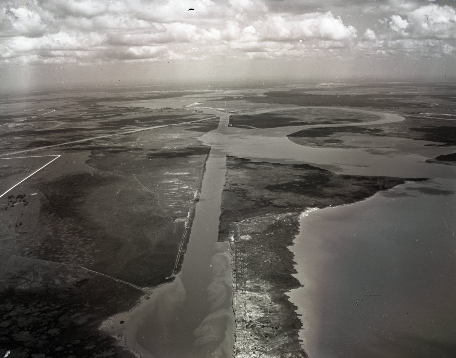
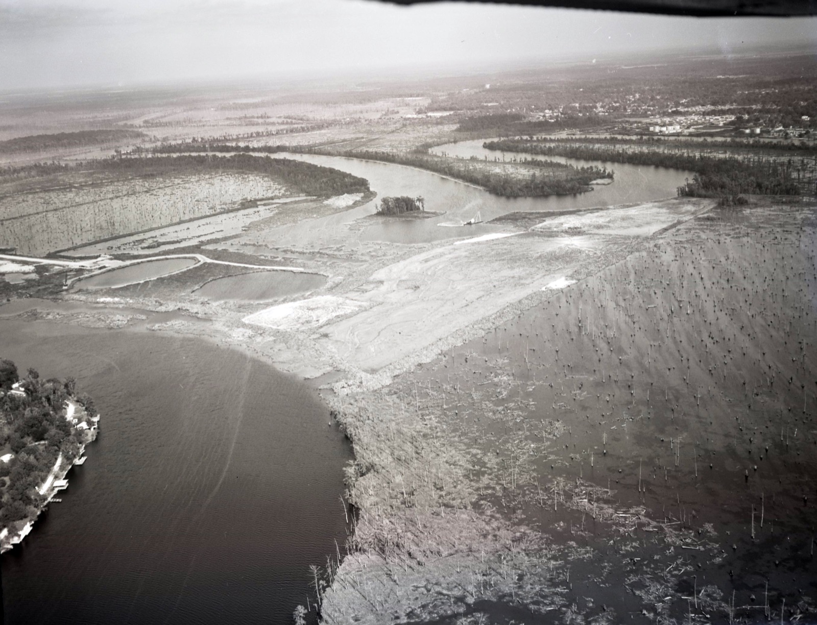
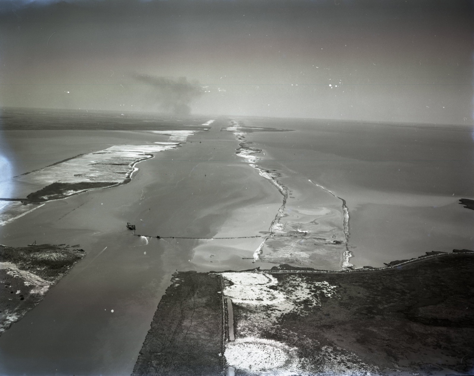
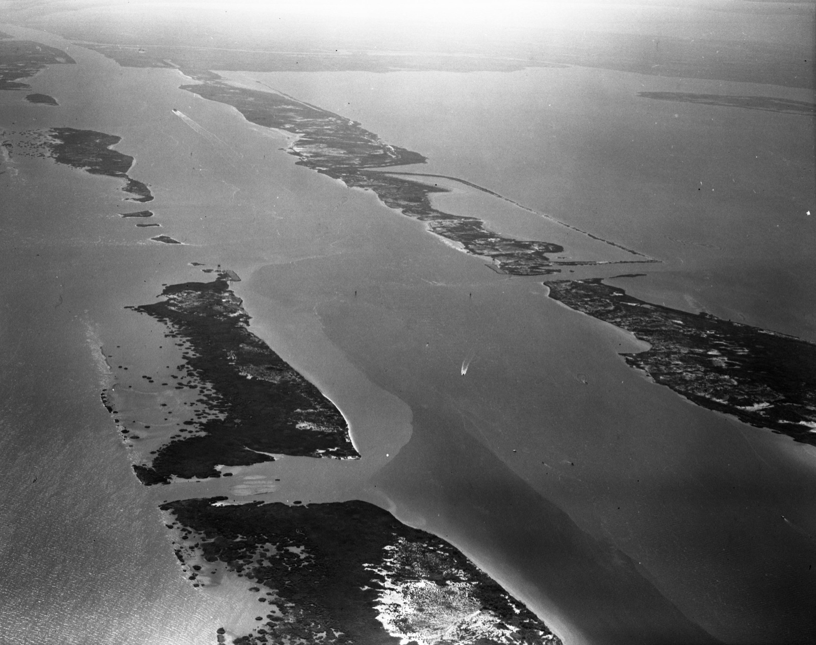
In response, the Corps and local interests undertook a series of engineering projects to manage saltwater intrusion and protect freshwater resources. These included the Catfish Point water control structure on the Mermentau River, the Calcasieu Saltwater Barrier (see images), and other structures. Debated throughout the 1970s and built in the 1980s, the Cameron-Creole Watershed Project added levees, canals, and water-control structures on the east end of the lake (East Cove Marsh) to manage salinity and water levels across more than 100,000 acres of coastal marsh. While these projects addressed specific problems, they also changed drainage patterns, tidal exchange, and the movement of water across the region.
The Calcasieu Ship Channel helped transform Lake Charles into a major industrial port, first serving the petrochemical industries and, more recently, the growing LNG sector. Yet the channel and the water-control projects that followed illustrate a larger historical pattern along Louisiana’s Working Coast: each engineering intervention alters the coastal landscape, producing consequences, and trade-offs, that the next generation must address. Nearly a century after the first dredge was deployed to the region, southwest Louisiana communities continue to deal with the economic benefits and environmental challenges of this interconnected waterway system. These rare Army Corps aerials document a remarkable chapter in the engineering of the Working Coast, where the dredges that opened southwest Louisiana to maritime commerce also set in motion decades of efforts to control the saltwater that followed.
Images
Learn more
- Previous in the series: Dredging the “Infamous” MRGO
Need historical research on Louisiana’s coast?
Dr. Jason P. Theriot is a Houston historian who has spent 20 years researching Louisiana’s Working Coast: its oil and gas industry, pipelines, navigation channels, and coastal restoration. He provides archival research, historical chronologies, photo research, and written histories for law firms, companies, agencies, and organizations.
Litigation support · Research and writing services · Contact Jason or call (713) 417-3380