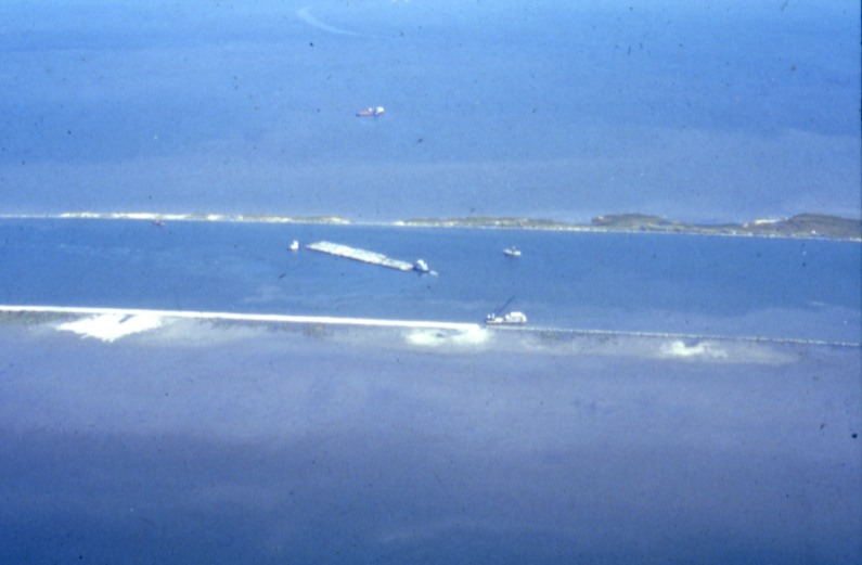
Caernarvon Freshwater Diversion
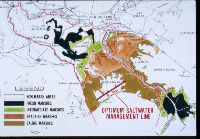
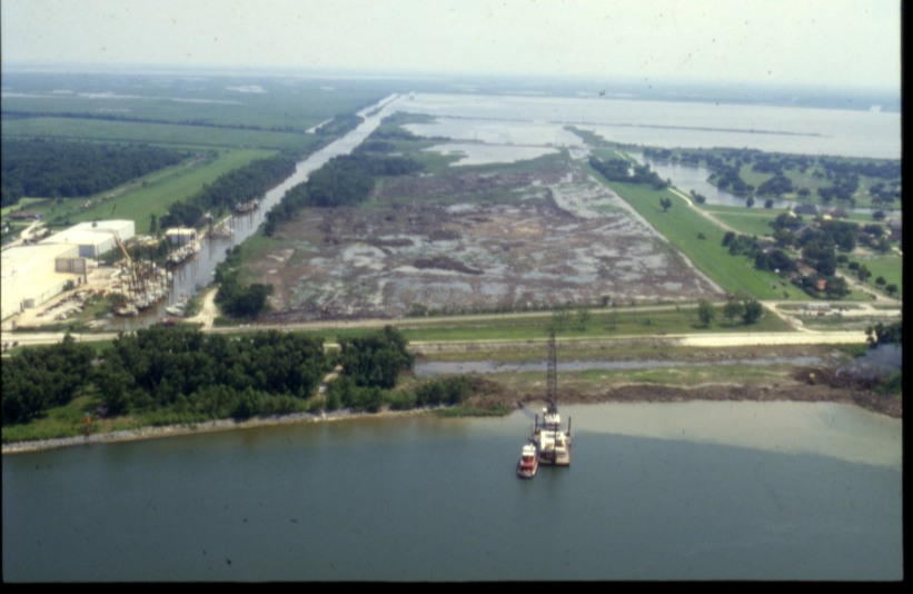
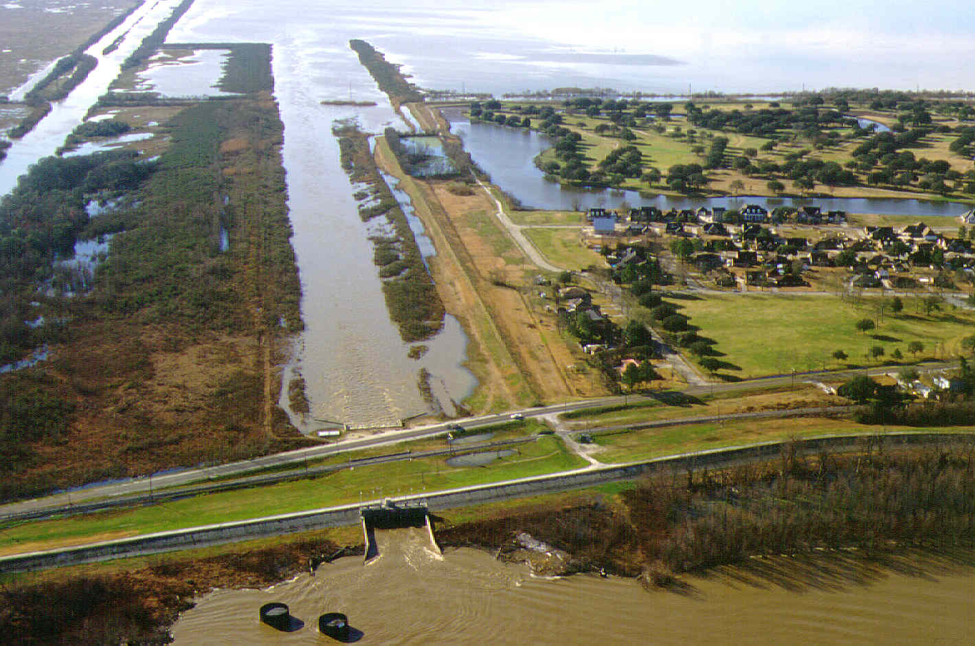
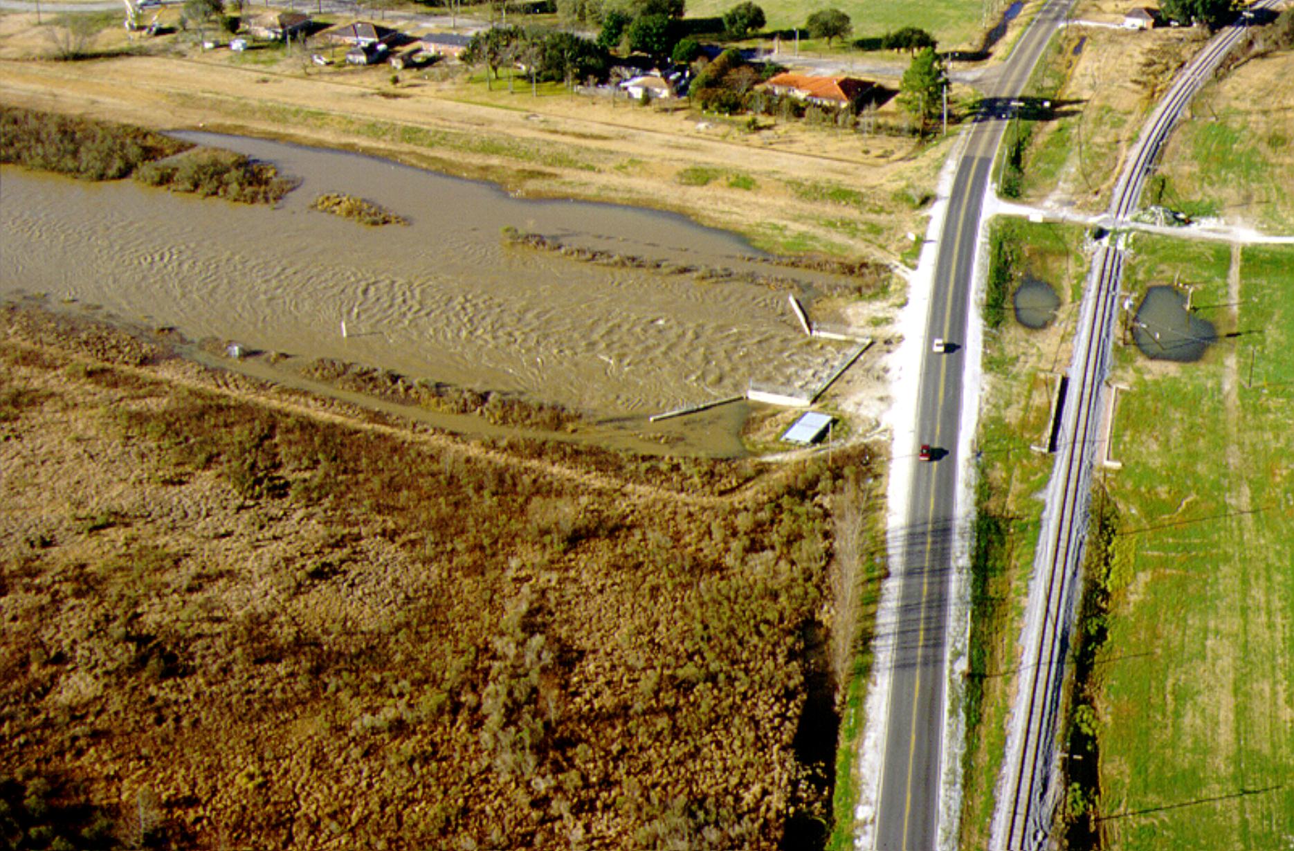
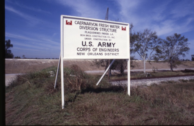
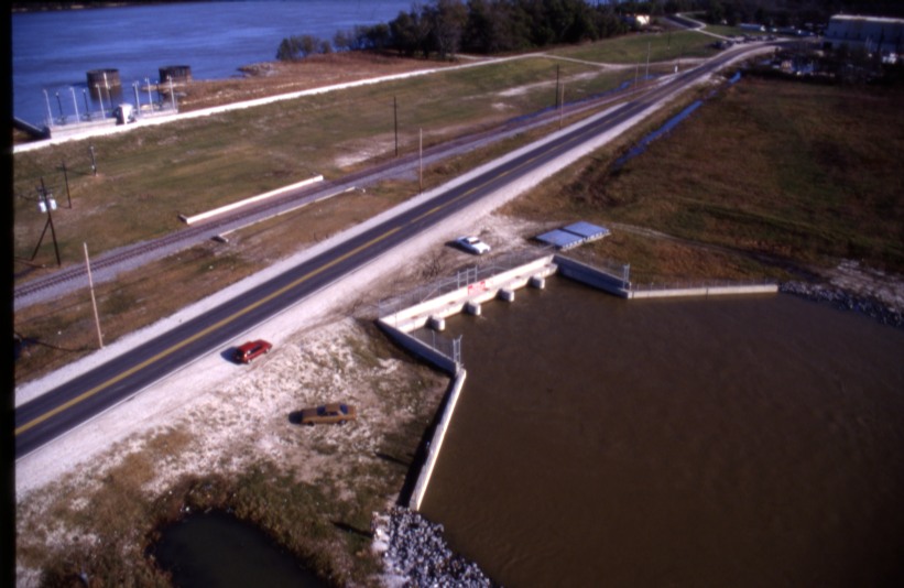
It was here, during the Great Mississippi River Flood of 1927, that engineers dynamited the Mississippi River levee in an effort to relieve pressure on the flood system and save New Orleans, sending floodwaters across St. Bernard Parish and into the Breton Sound marshes. Decades later, the same location became the site of Louisiana’s first major experiment in reconnecting the Mississippi River to its wetlands. Completed in 1991, the Caernarvon Freshwater Diversion was designed to push back saltwater intrusion and replenish marshes that had been cut off from the river’s freshwater and sediment. The project quickly became both a milestone in coastal restoration policy and a source of controversy, as oyster fishermen argued the diversion disrupted productive oyster grounds, leading to the well-known Avenal litigation.
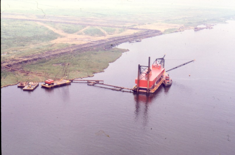
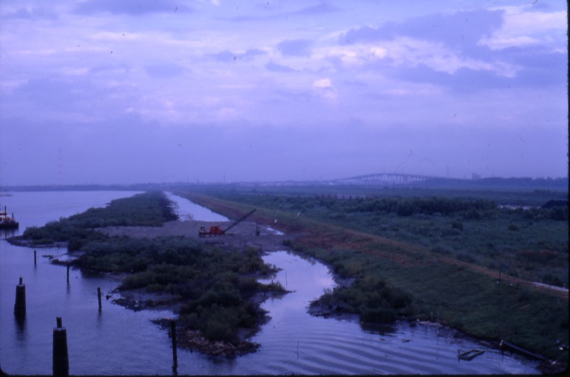
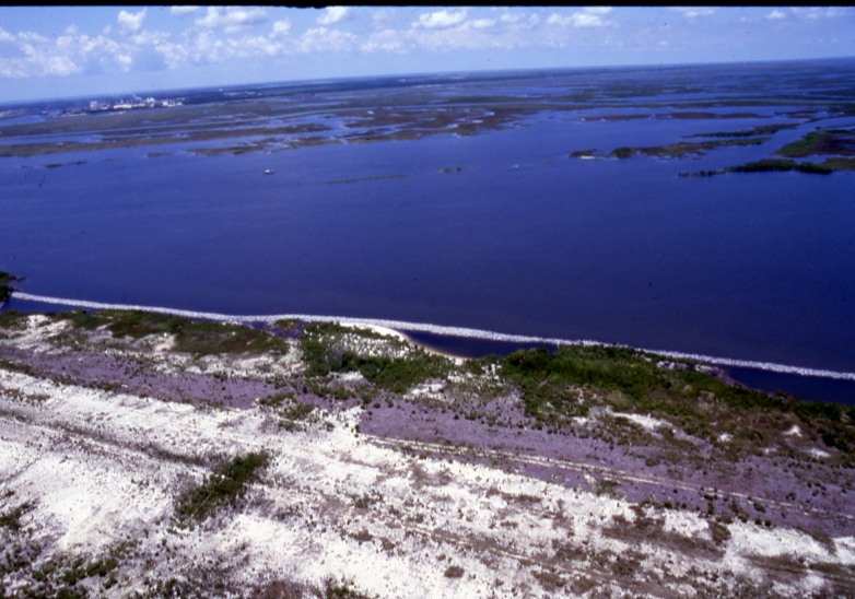
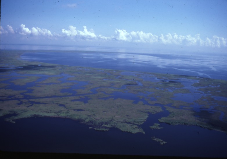
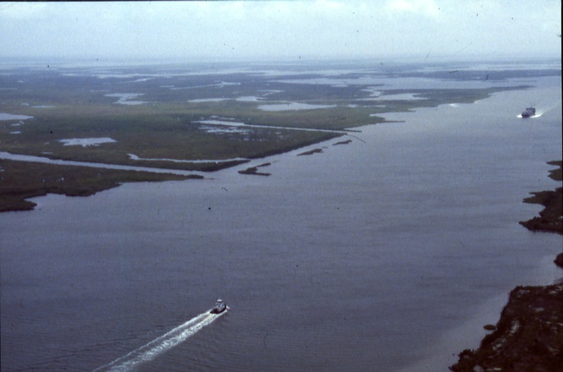
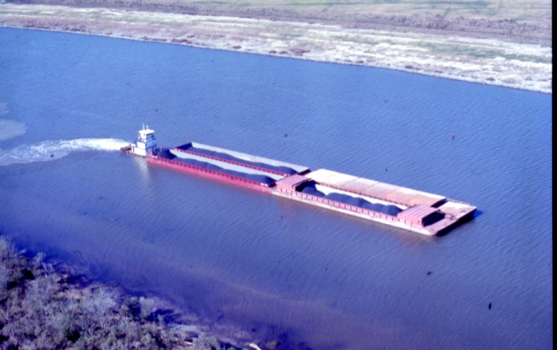
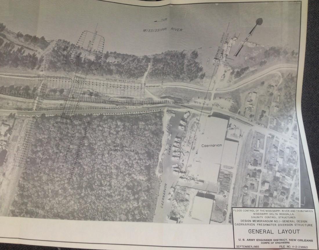
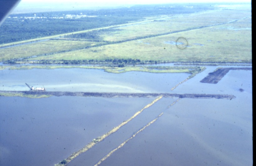
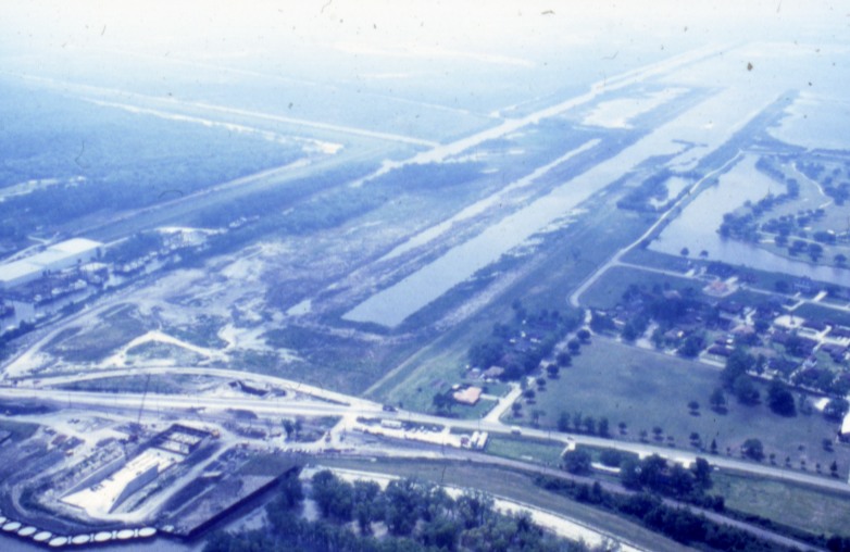
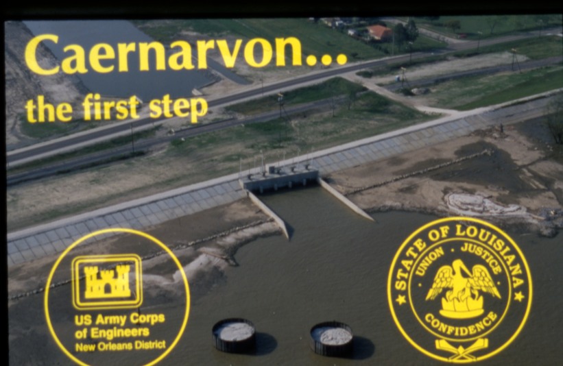
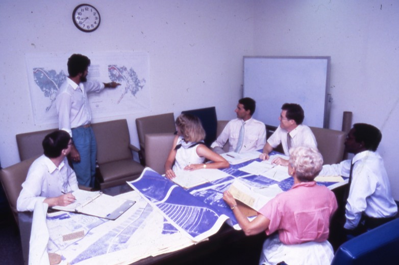
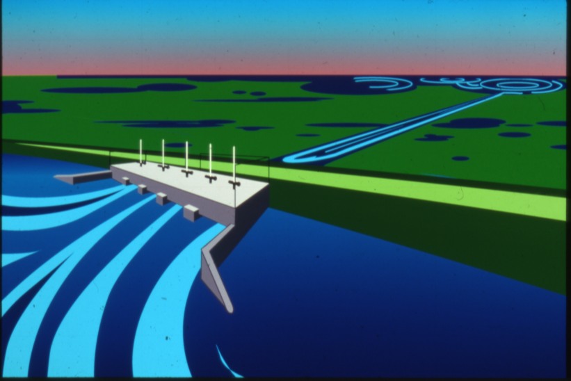
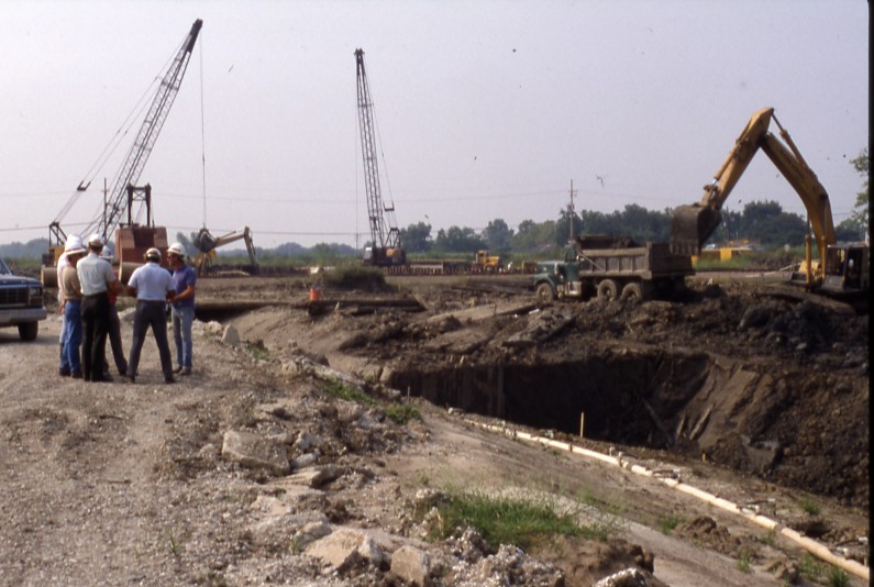
Ongoing historical research is examining the development of the diversion and its role in shaping Louisiana’s modern coastal restoration strategy. The rare images presented here—drawn largely from U.S. Army Corps of Engineers archives—document the planning, construction, and early operation of the project.
Images of Caernarvon
The Mississippi River-Gulf Outlet (MRGO)
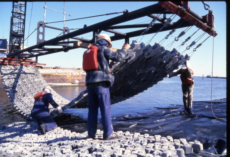
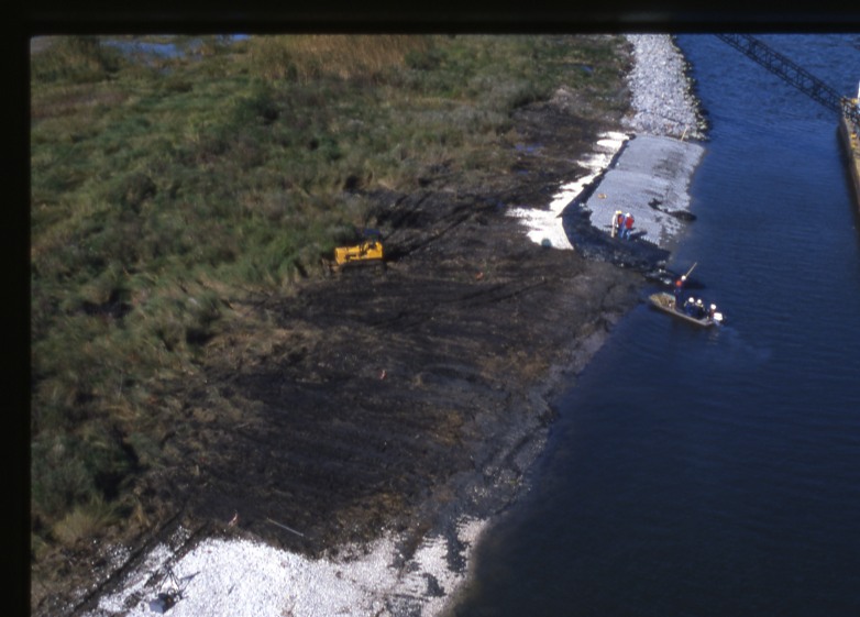
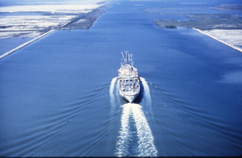
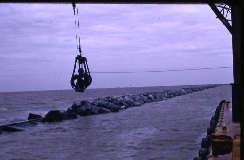
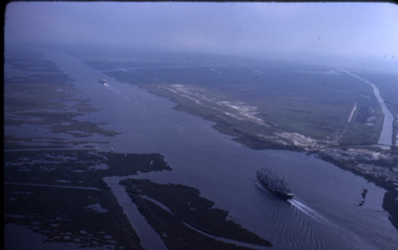
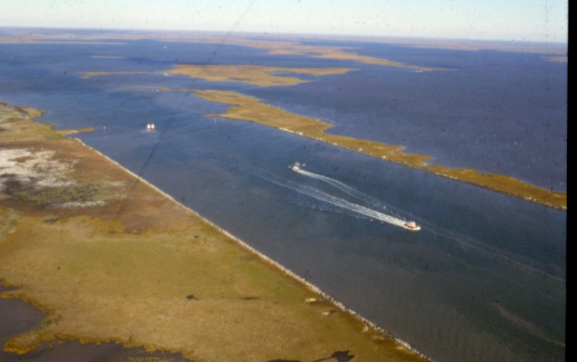
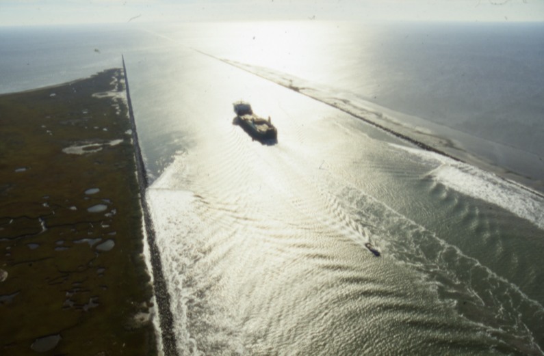
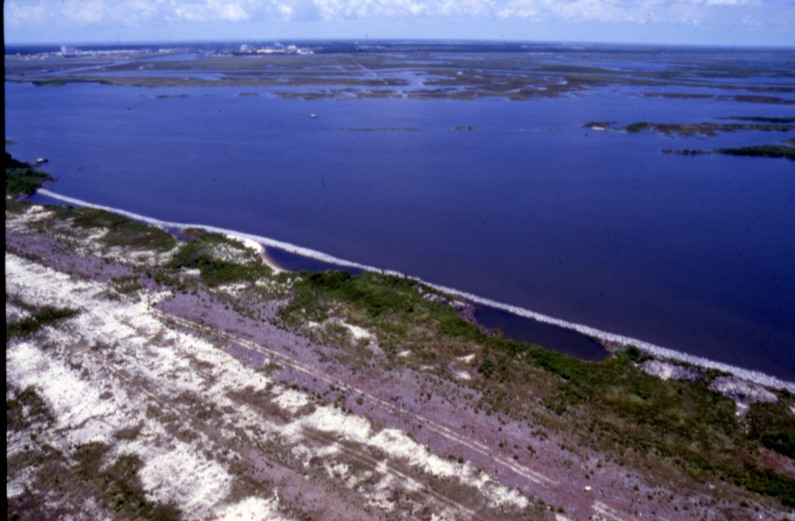
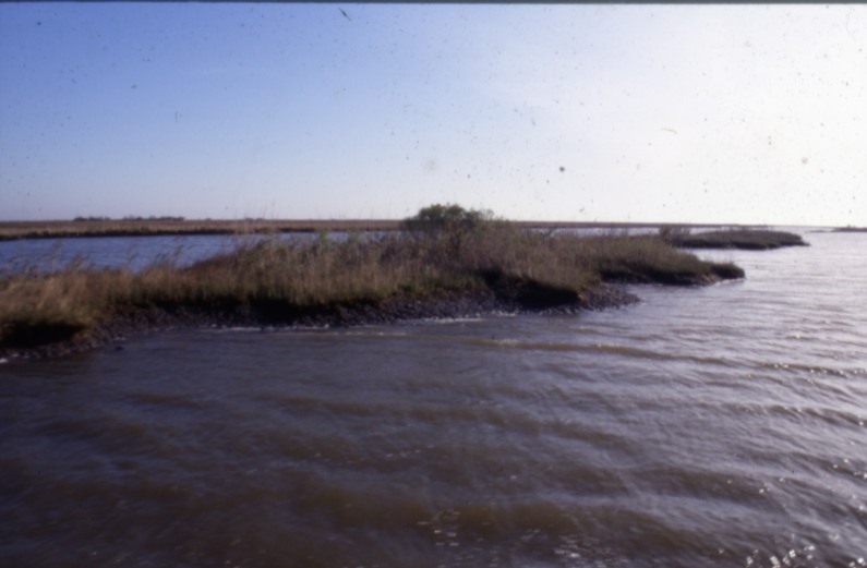
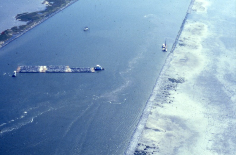
The infamous MRGO was a 76-mile deep-draft navigation channel built by the U.S. Army Corps of Engineers to provide New Orleans shipping with a shorter route to the Gulf of Mexico. Authorized in 1956 and opened to commercial traffic in 1963, the channel cut through the delta marshlands southeast of the city. Over subsequent decades, erosion, saltwater intrusion, and widening of the channel contributed to major changes in the surrounding coastal landscape. MRGO was deauthorized in 2008 and physically closed near Bayou La Loutre in 2009.
Images of MRGO